2023
2024
2025
2026

2023
2024
2025
2026
Bonneville Salt Flats Access Road
Since Jan 2023
In Utah, US
BSF101
This chronolog combines 499 photos from 460 contributors. Learn more
About this site
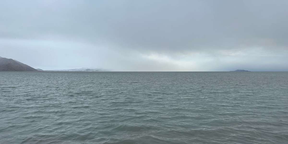
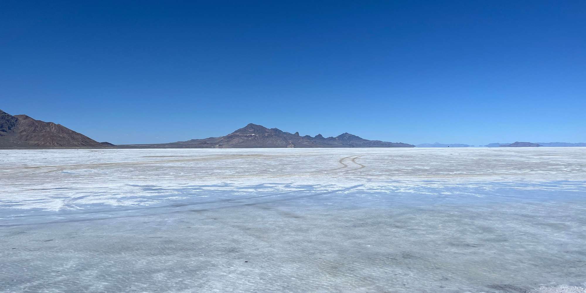
This set of time-lapse images shows how the extent of the Bonneville Salt Flats' halite crust and surface pond change over time. The Bonneville Salt Flats is a dynamic system and will dry out and flood several times a year. This spot is one of the last areas to dry out. Check out images from a weather station at the center of the salt flats here.
About Utah Geological Survey, University of Utah, and the Bureau of Land Management
The Bureau of Land Management manages the Bonneville Salt Flats and the University of Utah and Utah Geological Survey are actively investigating how this dynamic system is changing in response to changes in climate and land use.