2021
2022
2023
2024
2025
July 1, 2020 at 3:06 PM

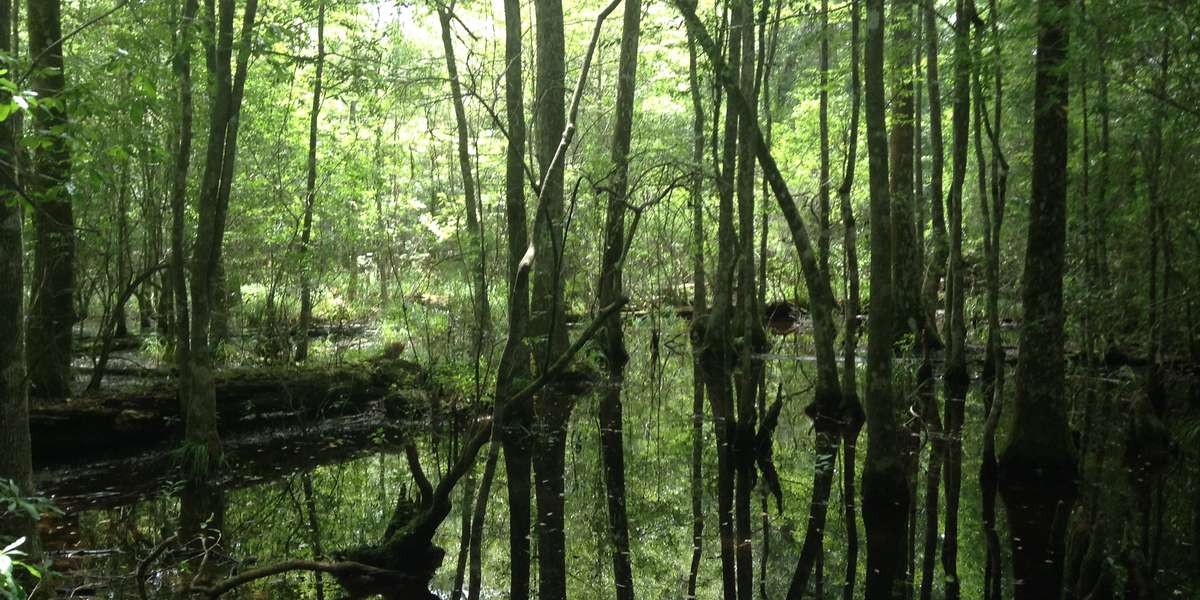
Cypress Tupelo Slough on the Kirby Nature Trail
Managed by Big Thicket National Preserve
Since 2020
In Texas, US
BTP102
This chronolog combines 362 photos from 316 contributors. Learn more
About this site
Throughout this slope forest, numerous natural drainage systems and sloughs like this one, channel water toward Village Creek and eventually to the Neches River, which carries it to the Gulf of Mexico. Water levels in this slough change dramatically throughout the seasons, but the subsurface stays wet enough to support a number of robust bald cypress trees, easily identified by their wide base and the many cypress knees that surround them. Along the edges of this slough you will find a smattering of deciduous trees, which offer a rare glimpse at the fall colors. Sloughs like this are teeming with life; keep your eyes open for songbirds, tadpoles, green anoles, dragonflies and a healthy mosquito population.
About Big Thicket National Preserve
Big Thicket National Preserve, a unit of the US National Park Service, is located in Southeast Texas, near the city of Beaumont and 75 miles northeast of Houston. Established in October of 1974, the preserve consists of nine land units and six water corridors encompassing more than 113,000 acres. The Big Thicket, often referred to as a “biological crossroads,” is a transition zone between four distinct vegetation types – the moist eastern hardwood forest, the southwestern desert, the southeastern swamp, and the central prairies. Species from all of these different vegetation types come together in the thicket, exhibiting a variety of vegetation and wildlife that has received global interest. In 1981, Big Thicket National Preserve was also designated as a Biosphere Reserve by UNESCO and in 2001 the American Bird Conservancy classified the preserve as a “Globally Important Bird Area.” To truly “see” the preserve, you must venture away from the modern conveniences of automobile travel and take a close look at the small things. The preserve offers over 40 miles of developed hiking trails, suitable for all skill levels. Numerous creeks and rivers offer visitors the opportunity to kayak and canoe on over 100 miles of accessible waterways. For the more adventurous visitors, back-country camping opportunities are available in most units of the preserve. Birding, photography, hunting and fishing are just a few of the other activities visitors enjoy.
For nature-lovers
Explore chronologs
For organizations
Chronolog is a monitoring tool for parks, nature centers, wildlife organizations, schools, and museums worldwide. With over 100,000 contributors across 300 organizations, Chronolog is on a mission to engage communities with nature while recording important natural changes.
© Chronolog 2025 | Terms