2021
2022
2023
2024
2025
2026


2021
2022
2023
2024
2025
2026
Native Plant Restoration - Upland Forest
Managed by Friends of Dyke Marsh
Since May 2020
In Virginia, US
DMW101
This chronolog combines 439 photos from 272 contributors. Learn more
About this site
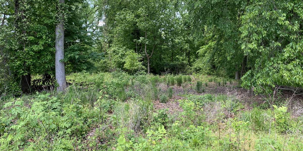
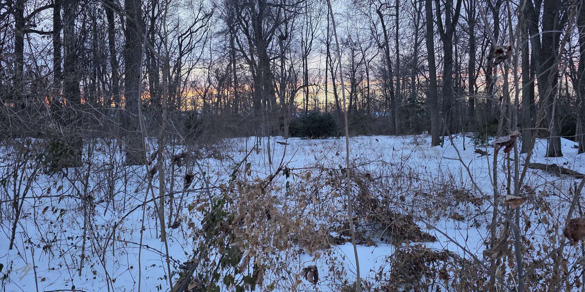
The upland forest pictured here is part of the Dyke Marsh Wildlife Preserve, a 485-acre preserve composed of tidal wetland, swamp forest, upland forest and open water. This area has been the focus of a pilot native plant restoration project since 2018. Before the start of this project, the area was overrun with non-native plants which were outcompeting native plants, which contributes to a loss of diversity, not just of plants but of wildlife that has co-evolved with our native plants. In 2018, Friends of Dyke Marsh (FODM), in partnership with the National Park Service, Earth Sangha, and the Audubon Society of Northern Virginia, planted 4,000 native plants in the restoration area, a .65-acre plot on the west side of the Haul Road trail. Throughout the spring, summer, and fall of 2019, FODM had regular volunteer sessions to control non-native plants like mile-a-minute (Persicaria perfoliata) and Japanese stiltgrass (Microstegium vimineum). In October 2019, FODM volunteers and National Park Service staff put in 400 more native plants in the restoration area in Dyke Marsh, including riverbank wild rye (Elymus riparius), New York ironweed (Vernonia noveboracensis), wild rice (Zizania aquatica) and deer tongue (Dichanthelium clandestinum (syn. Panicum clandestinum)). Please use this photo station to help us document the changes in the forest as invasives continue to be removed and native vegetation comes back. To volunteer to remove non-native plants, or plant natives, info@fodm.org and put native plant restoration in the subject box. For more info about Dyke Marsh and Friends of Dyke Marsh go to https://fodm.org/.
About Friends of Dyke Marsh
Friends of Dyke Marsh is a volunteer group dedicated to preserving, restoring and enhancing Dyke Marsh, a freshwater tidal marsh in Fairfax County on the Potomac River just south of Alexandria, Virginia. The Dyke Marsh Wildlife Preserve is administered by the National Park Service.
For nature-lovers
Explore chronologs
For organizations
Chronolog is a monitoring tool for parks, nature centers, wildlife organizations, schools, and museums worldwide. With over 100,000 contributors across 300 organizations, Chronolog is on a mission to engage communities with nature while recording important natural changes.
© Chronolog 2026 | Terms