

FWC-101 · Florida, US
Eglin AFB - Matterhorn Dune Restoration Site
By Florida Fish and Wildlife Conservation Commission
113 photos from 86 people · Since Jan 2025
About this place
The Panhandle Dune Ecosystem Project is funded by the National Fish and Wildlife Foundation's Gulf Environmental Benefit Fund and is a collaboration between the Florida Fish and Wildlife Conservation Commission, the U.S. Fish and Wildlife Service, and the University of Florida.
Our project involves creating site-specific restoration plans focused on reintroduction or augmentation plantings of native dune plant species to achieve project objectives and promote natural dune building processes.
The coastal dune ecosystem is an important part of beach habitat that can provide protection from storms and prevent erosion in the Florida panhandle. The highly diverse plant communities found within the dunes help with stabilization as well as supply essential food sources and protection for wildlife. Since the dune environment is dynamic and ever-changing, it is important to enhance and stabilize this protective barrier.
Thank you for being a part of PDEP and protecting our dunes!
Check out our website for more info
A free permit to access the Eglin Public Beach Matterhorn access is required.
About Florida Fish and Wildlife Conservation Commission
The Florida Fish and Wildlife Conservation Commission (FWC) is the state's wildlife agency with the mission of managing fish and wildlife resources for their long-term well-being and the benefit of people. The FWC envisions a Florida where fish and wildlife are abundant and thriving in healthy and connected natural landscapes with vital working lands and waterways; where natural resources are valued and safely enjoyed by all; and wherein natural systems support vibrant human communities and a strong economy.
New to Chronolog?
A timelapse made by visitors
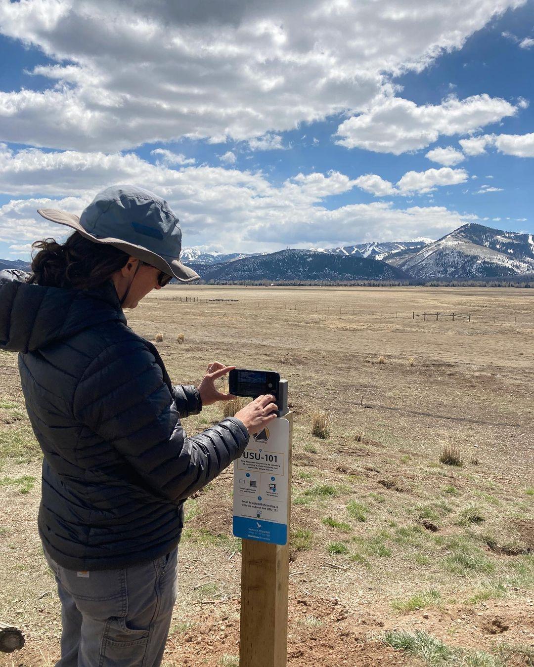
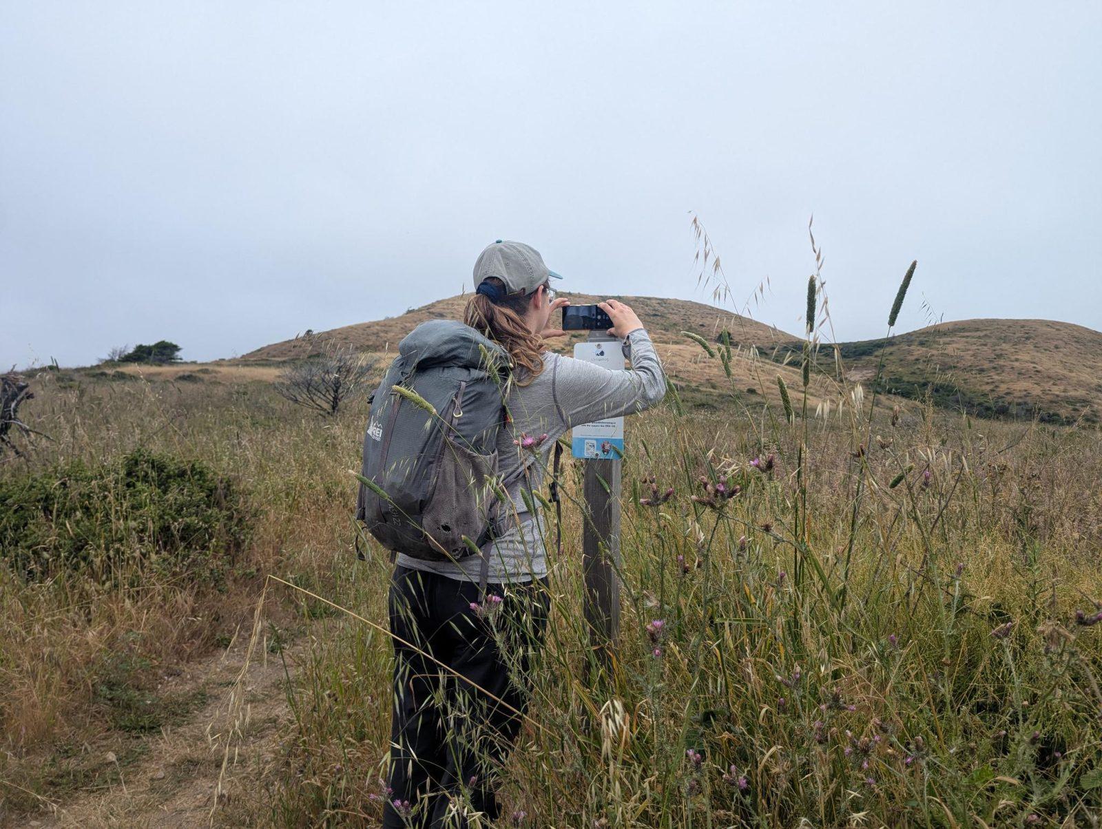
People passing through set their phone in the bracket and take the same photo. We line them all up into one timelapse of this place.
See how it worksVisit
Find this Chronolog
Florida, US · 30.39058, -86.54712
For parks, nature centers, land trusts, schools & more
Give your place a memory.
Each person who stops adds a photo. Together, they show how your site changes.
- Up in an afternoon
- No power or Wi-Fi
- Full-resolution photos and video