2021


2021
Chase River (John Barsby School)
Managed by City of Nanaimo
Since May 2021
In British Columbia, CA
NAN101
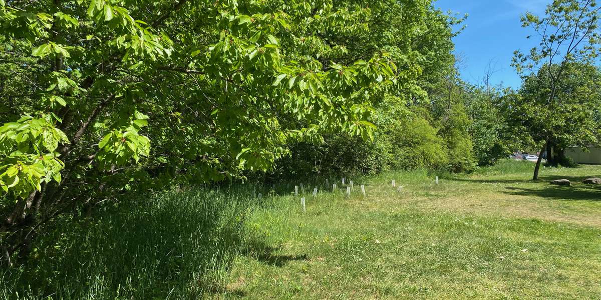
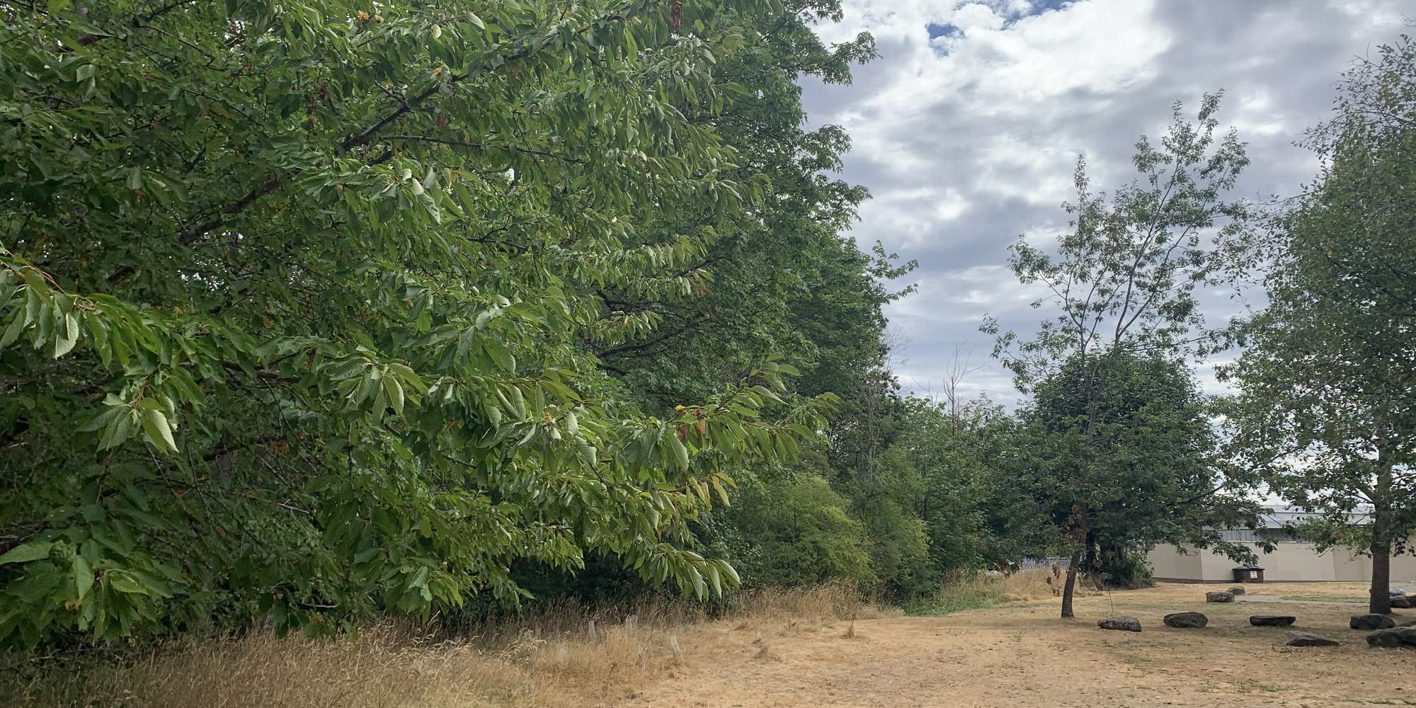
This chronolog combines 4 photos from 3 contributors. Learn more
About this site
Between Bruce Ave. and Howard Ave., the riparian area along both sides of the Chase River has been significantly impacted from historic development and disturbances dating back many decades. The riparian forest along the south bank of the river consisted of a narrow width of tree/shrub vegetation that typically extends only 4 to 5 m from the top of bank of the river and in places is only 2 to 3 m wide. There are few large trees present within the riparian area along the south bank and invasive species are present throughout the narrow riparian forest. In some areas, invasive plants such as Himalayan blackberry are the dominant species present, preventing the return to natural forest conditions and choking out or competing with natural vegetation. Working with students and faculty from John Barsby School, this restoration project is intended to reestablish a viable riparian ecosystem along an important fish bearing watercourse in the Harewood neighborhood.
About City of Nanaimo
The City of Nanaimo is a community of 100,000 residents on the east coast of Vancouver Island, British Columbia. The City has over 1000 Ha of parkland. 70% of it being natural area. The spread of invasive species and the fragmentation of habitat over the years has negatively impacted these spaces. To address this, the City is working with Snuneymuxw First Nation and a variety of community organizations on several environmental restoration projects to increase the ecological diversity of our parks and natural areas.
For nature-lovers
Explore chronologs
For organizations
Chronolog is a monitoring tool for parks, nature centers, wildlife organizations, schools, and museums worldwide. With over 100,000 contributors across 300 organizations, Chronolog is on a mission to engage communities with nature while recording important natural changes.
© Chronolog 2026 | Terms