2022
2023
2024
2025
May 17, 2021 at 12:43 PM

Clary-Boulee-McDonald Nature Preserve
Managed by H2Ohio
Since 2021
In Ohio, US
OHO102
This chronolog combines 9 photos from 6 contributors. Learn more
About this site
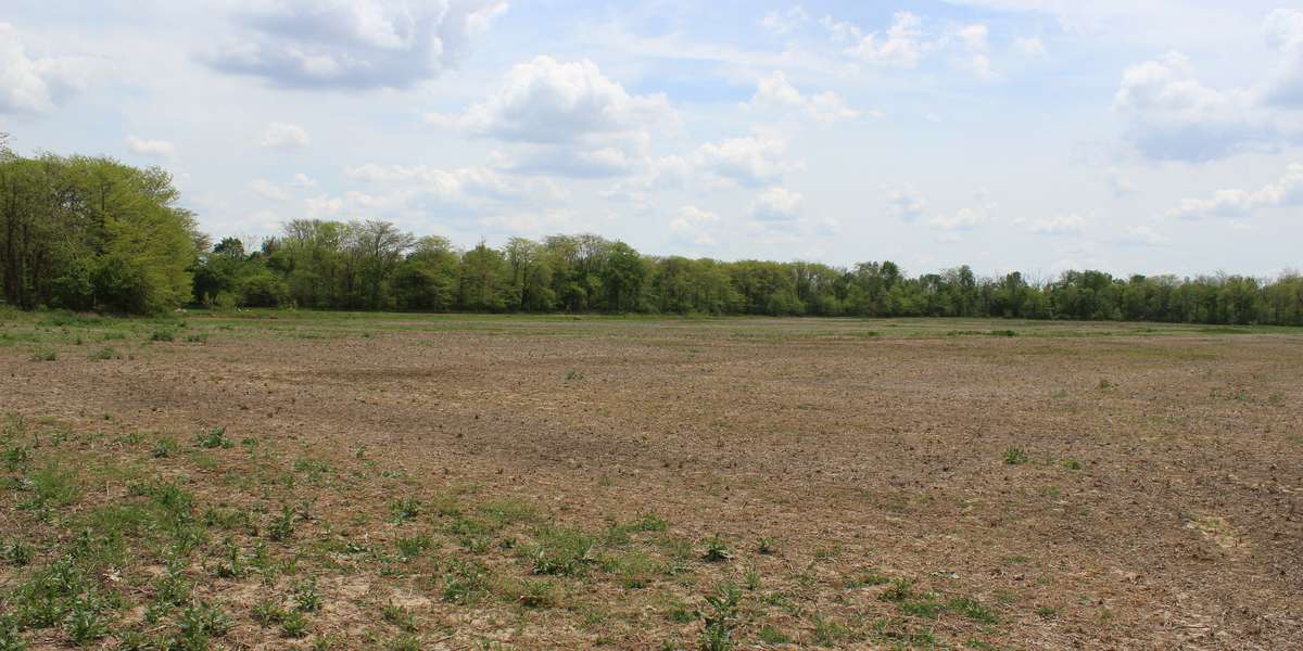
This project focuses on floodplain wetland restoration on over 160 acres of property that used to consist of over 100 acres of crop land. The crop land contained hydric soils and floodplain that connected with Wolf Creek. This project interacts with drainage from a 64-square mile area.
About H2Ohio
A Plan for Ohio's Watersheds
For nature-lovers
Explore chronologs
For organizations
Chronolog is a monitoring tool for parks, nature centers, wildlife organizations, schools, and museums worldwide. With over 100,000 contributors across 300 organizations, Chronolog is on a mission to engage communities with nature while recording important natural changes.
© Chronolog 2025 | Terms