2023
2024
2025
July 6, 2022

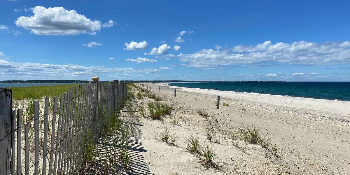
Duxbury Barrier Beach
Managed by Stone Living Lab
Since 2022
In Massachusetts, US
SLL105
This chronolog combines 127 photos from 38 contributors. Learn more
About this site
Thank you for submitting your image to this photo station! Photographs from this site will help researchers with the Stone Living Lab and Woods Hole Group monitor the Duxbury Beach Dune Restoration Project. The project restored one of the narrowest and at-risk sections of the barrier beach system, improving the resilience of 15 miles of shoreline, as well as continued access to the site for recreationalists, landowners, and emergency personnel. The project also provided nesting habitat for the state and federally listed piping plovers and state listed least tern that nest on Duxbury Beach. By restoring the dune to specifications suitable for plovers and terns, these beach nesting species were provided with improved nesting and chick rearing habitat less vulnerable to overwash. Images from this site will provide data about the continued performance of the dune restoration and resiliency of the overall barrier beach.
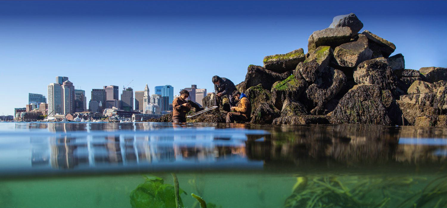
The Stone Living Lab is an innovative and collaborative initiative for testing and scaling up nature-based approaches to climate adaptation, coastal resilience and ecological restoration in the high-energy environment of the Boston Harbor Islands National and State Park.
The pictures collected from our Chronolog stations will help us measure and track coastal change along Boston Harbor. How will seasonal change and storm events shift in the face of climate change?
Find out more about our other education initiatives and get involved at https://stonelivinglab.org/education/.
About Stone Living Lab

The Stone Living Lab is an innovative and collaborative initiative for testing and scaling up nature-based approaches to climate adaptation, coastal resilience and ecological restoration in the high-energy environment of the Boston Harbor Islands National and State Park.
The pictures collected from our Chronolog stations will help us measure and track coastal change along Boston Harbor. How will seasonal change and storm events shift in the face of climate change?
Find out more about our other education initiatives and get involved at https://stonelivinglab.org/education/.
The Stone Living Lab is a partnership of the City of Boston, UMass Boston School for the Environment, Boston Harbor Now, the National Parks of Boston, the Massachusetts Department of Conservation and Recreation, and the James M. and Cathleen D. Stone Foundation that engages scientists and the community in research, education, and the promotion of equity.
For nature-lovers
Explore chronologs
For organizations
Chronolog is a monitoring tool for parks, nature centers, wildlife organizations, schools, and museums worldwide. With over 100,000 contributors across 300 organizations, Chronolog is on a mission to engage communities with nature while recording important natural changes.
© Chronolog 2025 | Terms