2022
2023
2024
2025
May 19, 2022 at 9:51 AM

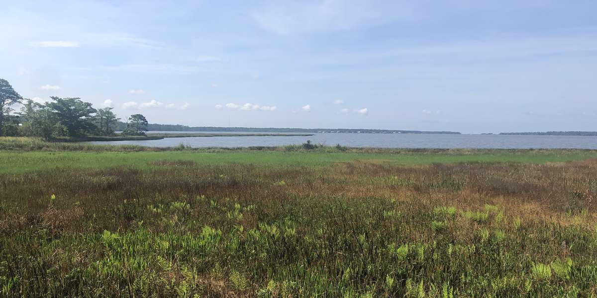
Weeks Bay Reserve Visitor Center Pavilion overlook
About this site
Weeks Bay and surrounding marshes are highly productive areas that
serve as a nursery for commercially important shellfish and finfish. Additionally, the location acts as a filter for pollutants, provides shoreline stabilization, and offers recreational and educational opportunities for people on the coast.
Forested wetlands and swamps occupy much of the land around Weeks Bay. These wetlands are flat or have low relief and contain saturated wetland soils. During storm events, wind-driven surge or floodwaters from heavy rains inundate these wetlands.
The shoreline of the bay supports marshes dominated by salt-tolerant herbs and grass-like plants. Marshes occur as narrow shoreline fringes and extend up the tidal mouths of the Fish and Magnolia Rivers. Black needlerush (Juncus roemerianus) is an abundant species and dominates portions of the saltmarsh at the edge of the water. Two species of cord grass (Spartina alterniflora and Spartina cynosuroides) grow abundantly in the intertidal zone. Other common species are saltgrass (Distichlis spicata), saltmeadow cordgrass (Spartina patens), saltmarsh aster (Aster tenuifolius), saltmarsh foxglove (Agalinis maritima), and sea lavender (Limonium carolinianum).
About Weeks Bay National Estuarine Research Reserve
Weeks Bay Reserve was established in 1986 and is managed by the Alabama Department of Conservation and Natural Resources as part of NOAA's National Estuarine Research Reserve System. The visitor center offers the public opportunities to learn about coastal habitats through exhibits, live displays and collections of animals and regional plants. Self-guiding nature trails wind through wetlands, marshes, forests and a pitcher plant bog.
For nature-lovers
Explore chronologs
For organizations
Chronolog is a monitoring tool for parks, nature centers, wildlife organizations, schools, and museums worldwide. With over 100,000 contributors across 300 organizations, Chronolog is on a mission to engage communities with nature while recording important natural changes.
© Chronolog 2025 | Terms